
Converted Point Cloud Data to CAD Drawings for Mining Project
Objective:
Converted Point Cloud Data to CAD Drawings for Mining Project
Inputs Received:
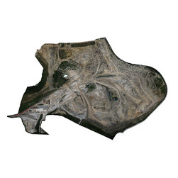
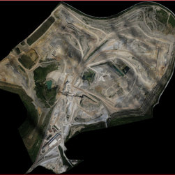
Configuration, DSM, Log, Model, Acquisition Details, Ortho-photography, Point Cloud Data, Slopes Degree
Outputs Delivered:
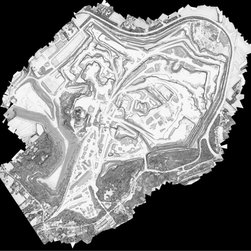
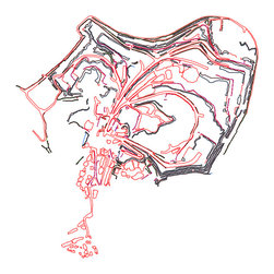
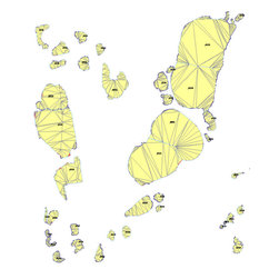
CAD Drawings
Final Stockpiles volume with details Report in Excel.
Technology/Software Used:
AutoCAD, Global Mapper, Google Earth, FME, Mensura
Converted Point Cloud Data to CAD Drawings for Mining Project
Inputs Received:
Configuration, DSM, Log, Model, Acquisition Details, Ortho-photography, Point Cloud Data, Slopes Degree
Outputs Delivered:
CAD Drawings
Final Stockpiles volume with details Report in Excel.
Technology/Software Used:
AutoCAD, Global Mapper, Google Earth, FME, Mensura
Country: France