


A Land with Standing Water? Not a good site to build a house?
12 years ago
Sort by:Oldest
Comments (14)
Related Stories
ARCHITECTUREBuilding Green: How to Plan Your Site for Healthier Living
Learn the many ways to create a more eco-friendly environment on your land
Full Story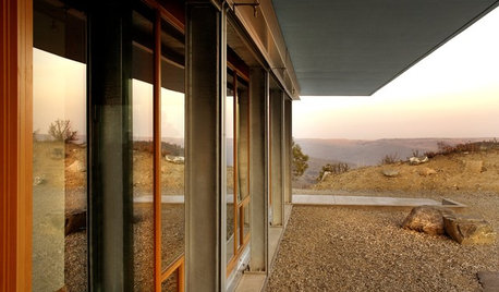
GREEN BUILDINGOff the Grid: Siting and Building to Conserve Energy
Look to low-tech solutions for big energy savings when you’re constructing a home
Full Story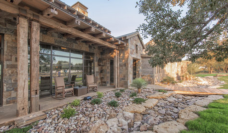
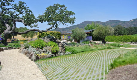
LANDSCAPE DESIGNTo Manage Stormwater Sustainably, Understand Your Site
Follow this guide to learn how water moves through your landscape and how best to manage it
Full Story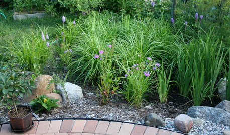
LANDSCAPE DESIGNHow to Site and Size a Rain Garden for Your Landscape
Installing a rain garden is an excellent way to reduce runoff and return water to its source
Full Story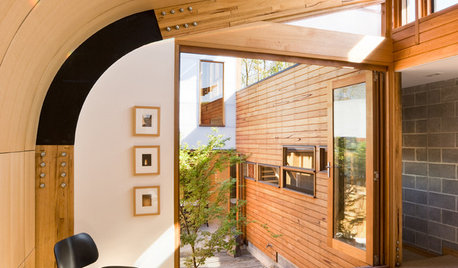
CONTEMPORARY HOMESHouzz Tour: A Sun-Soaked Solution for a Narrow Site
A high wall on one side and a sliver of land on the other allow ample space for a couple building their first home
Full Story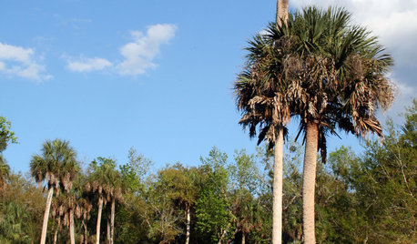
TREESGreat Design Plant: Sabal Palm Enchants in Balmy Sites
Towering and tolerant, this tree blends in, stands out and happily stars in vacation photos
Full Story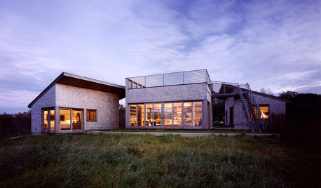
ARCHITECTUREDesign Workshop: How a Site Can Shape a Home
Create architectural poetry by looking to a site's topography, climate, trees and more to inform the home's design
Full Story
ARCHITECTUREHow to Artfully Build a House on a Hillside
Let your site's slope inspire your home's design, rather than fight it
Full Story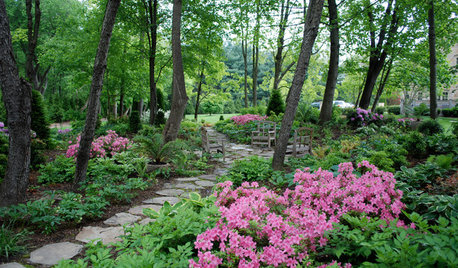
GREEN BUILDINGBuilding Green: How to Design a Healthier Landscape
Plant selection, water management, fire-prevention measures and more can ensure that your landscape is good for the planet and for you
Full Story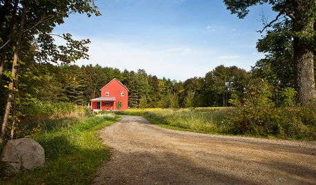
THE ART OF ARCHITECTUREFinding the Perfect Home for a New House
Sun, soil, water, topography and more offer important cues to siting your house on the land
Full StoryMore Discussions
chisue
worthy
Related Professionals
Hainesport Home Builders · South Farmingdale Home Builders · Aberdeen General Contractors · Alhambra General Contractors · Anderson General Contractors · Enfield General Contractors · Gloucester City General Contractors · Jackson General Contractors · Markham General Contractors · Milford General Contractors · Palestine General Contractors · Plano General Contractors · Seabrook General Contractors · West Mifflin General Contractors · Palm River-Clair Mel General Contractorsbrickeyee
chuehOriginal Author
ash6181
mountaineergirl
kcmo_ken
mountaineergirl
brickeyee
kcmo_ken
mountaineergirl
athensmomof3
kcmo_ken
brickeyee